The Royal Geogrpahic Society has lauched its new project Britain from the Air. A street exibition that will tour the country. In the RGS's own words the images:
"Showing Britain as you have never seen it before: 100 huge images of our natural and built landscapes telling stories of our heritage and bringing alive the beauty of our environment, and challenging us all to understand the changes taking place today in our towns and cities."


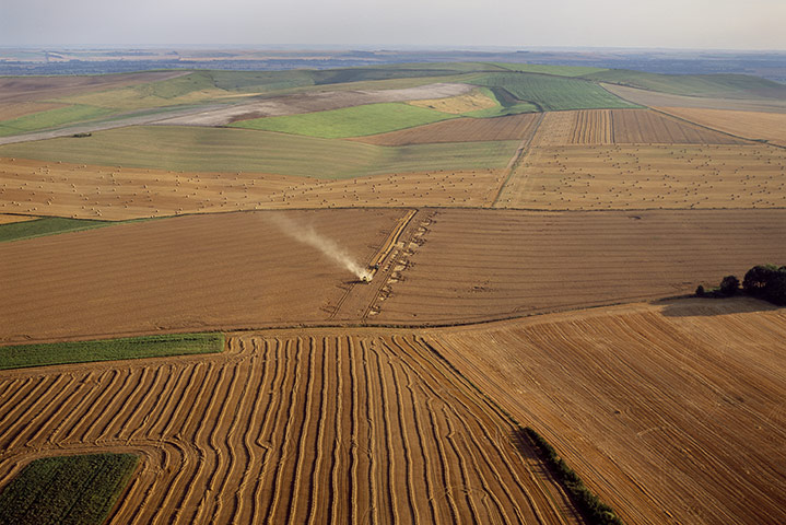
The images alone are useful sources for lessons and can be used in a number of wayssuch as the farming image above. This image is called Harvest, Wiltshire. The image comes with information regarding farmign practices in the UK:
"Wheat yield in Britain is about 7 to 10 tonnes per hectare, in 1950 it was 3 to 4 tonnes"
this image and stat can be used as a great introduction to the Farming topic, used as a Mystery or thinking Skills Activity. Discussion can be based on the reasons why there has been a dramatic increase in farming production, advantages and implications.
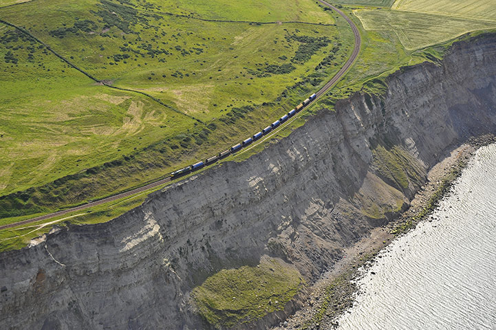
The Coastal Cliff image above can again be used as a great Mystery and thinking skills activity for the Coast Topic.
RGS is to produce educational resources for secondary in the future as well as touring the counry with the images as a street exihibtion which will include a walk-on O.S map!
No comments:
Post a Comment